
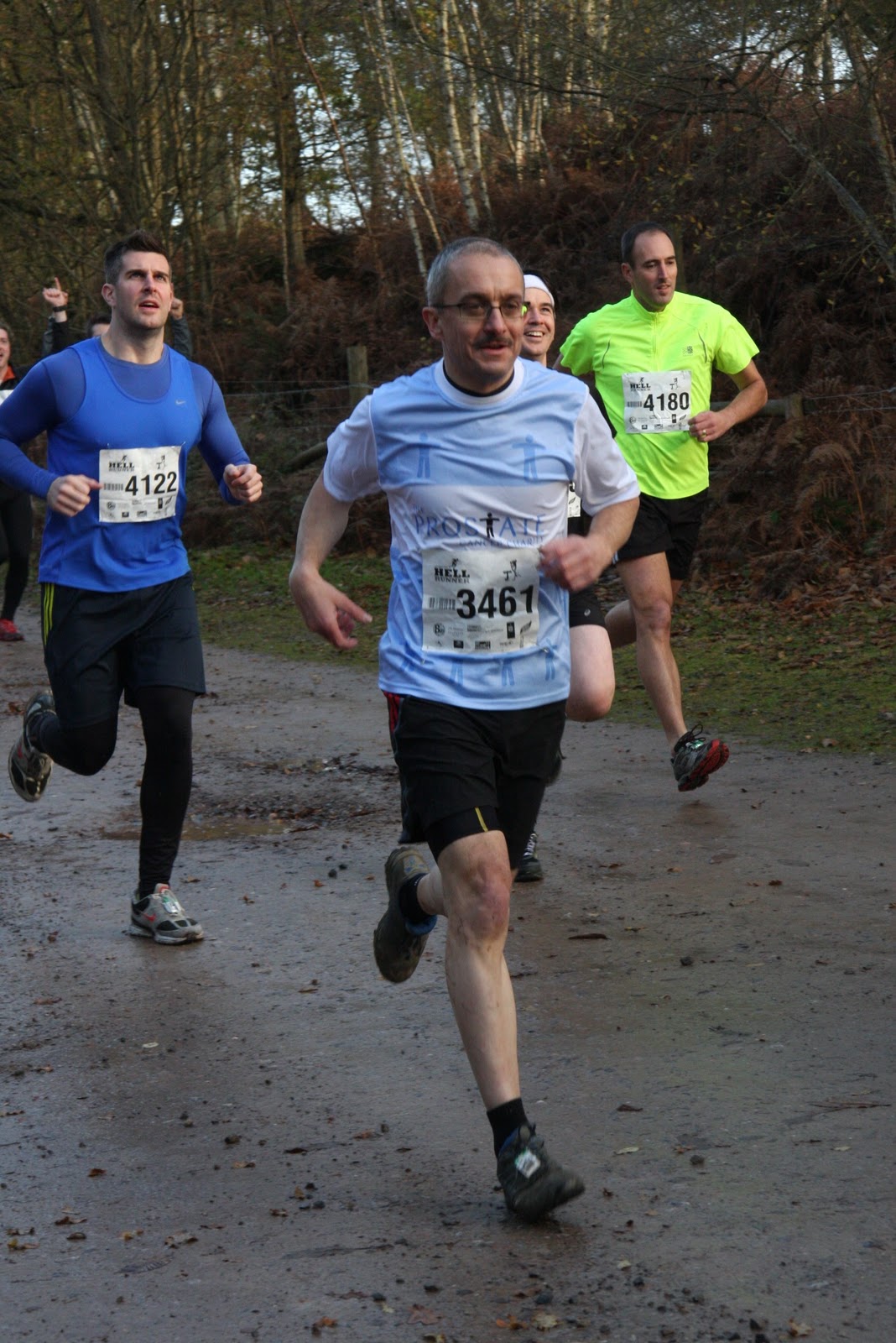
Described as offering "trail running at its toughest and most enjoyable (hmm?) 10-12 miles (more like 9 according to other competitors Garmins) of challenging off-road running ...tough, twisting trails (oh yes and did they mention steep?) ... including the famed Hills of Hell (sand dunes - very difficult to run on especial as they come right near the end when you're wet, muddy and tired) and the Bog of Doom (like the Ronseal ads - does exactly what it says on the tin!). All in all as it states "Punishment of the sole [sic] ... redemption of the mind." There are pictures and a short video on the website - http://www.hellrunner.co.uk/
Picked up Pete Mac (races 21, 33, 41, and 43) at Brixton tube at 7:30 and made our way out of London on the A3. It wasn't too cold (unlike last year which was sub-zero) but it was a bit drizzly. Making good time we got to Hindhead to find that the new tunnel, part of the Hindhead bypass was now open and saved us a considerable amount of time. The Hindhead Tunnel ( http://en.wikipedia.org/wiki/Hindhead_Tunnel ) opened in July 2011 forming part of the 4 mile dual-carriageway built to replace the last remaining stretch of single-carriageway on the 68-mile London to Portsmouth road. At 1.2 miles the tunnel is the longest non-estuarial road tunnel in the United Kingdom,and takes the road beneath the Devil's Punch Bowl (everything seems to have satanic links in this blog), a Site of Special Scientific Interest. It was also a scheme I had worked on back in the mid 90's where I had assisted in part of the Environmental Impact Assessment.
A digression (edited from Wikipedia - where else?) - the name Devil's Punch Bowl dates from at least 1768, the year that John Rocque's map of the area was published. Prior to 1768 it was marked as "ye Bottom" on a map by John Ogilby dated 1675. The soil in this part of Surrey has two layers — an upper layer of sandstone, with clay beneath. This deep depression is believed to be the result of erosion caused by spring water beneath the sandstone, causing the upper level to collapse. With its steep sides, the Devil's Punch Bowl has become a natural nature reserve, filled with heathland, streams and woodland. Local legend has a much more colourful theory as to its creation. According to one story, during the Middle Ages the Devil became so irritated by all the churches being built in Sussex that he decided to dig a channel from the English Channel, through the South Downs, and flood the area. As he began digging, he threw up huge lumps of earth, each of which became a local landmark — such as Chanctonbury Ring, Cissbury Ring (sites visited in races 10 and 19), Mount Caburn and Rackham Hill. He got as far as the village of Poynings (an area known as the Devil's Dyke) when he was disturbed by a cock crowing (one version of the story claims that it was the prayers of St Dunstan that made all the local cocks crow earlier than usual). Assuming that dawn was about to break, he leapt into Surrey, creating the Devil's Punch Bowl where he landed.
Another story goes that, in his spare time, he hurled lumps of earth at the god Thor to annoy him. The hollow he scooped the earth out of became the Punch Bowl. The nearby village of Thursley means Thor's place. A still older story claims that two giants clashed in the area, and one, scooping up earth to throw at the other, created the landmark before missing the throw and creating the Isle of Wight.
Coming out the other side of the tunnel, two things became apparent. Firstly we were going to be comfortably early and secondly, the rain was coming down in stair rods! We were going to get wet.
We arrived at the Longmoor army camp (see information at the end) - well a very muddy part of it anyway. In effect a large open piece of land that was accessed by a long single track 'road' for want of a better word that ran parallel to the A3 for about a mile, crossed over and then went back for about a mile - so we were pretty much back where we'd started but on the other side of the road. It was all churned up partly due to the rain but partly as they run the race both on Saturday and then again on the Sunday. This of course also applies to the run route ~ being equally churned up from the day before.


After the dunes, encouraged onwards by some very pretty marshals (I was tired - not blind) through another water filled gully and back on to the track. Seeing the crowds ahead and knowing that we were only 500m from the finish, a couple of put on a spurt of speed - well a relative 'spurt' at any rate and pulled ahead. A sprint / stagger to the finish to see me beaten by -another 'grey-haired gentleman' - that'll show the youngsters!
Unlike last year when the bag drop was a nightmare of queueing in freezing temperatures and a biting wind, this year it was a example of efficient planning. Virtually no waiting around meaning you could get warm and dry clothes on quickly and enabling you to get back to the finish to cheer on the other competitors. Cups of tea completed the warming up ritual prior to us making our way back to the car for the drive home.
RESULT: 136 (4th in 50+) out of 1842 in a time of 1.23.44
I did have a good 'rummage' through Wikipedia but couldn't find a lot about the area, I suppose unsurprisingly as it is an army base. However I did find a few snippets - edited below:
Longmoor Military Camp is a British Army training camp and training area on the A3 road between Liss and Liphook in Hampshire. The village of Greatham lies to the south.
Longmoor Military Camp is a British Army training camp and training area on the A3 road between Liss and Liphook in Hampshire. The village of Greatham lies to the south.
The camp includes Nissen huts, a school house, messing facilities, cinema and theatre. The main street of the camp is built on an ancient Roman road, the Chichester to Silchester Way [see below]. The training areas consist of 1783 hectares of wooded areas, heath, wetlands and hard standings.
The majority of the area is designated a Site of Special Scientific Interest and forms part of the European designated Wealden Heaths Special Protection Area and Special Area of Conservation. In addition to military use, the area is used by the Goschen foxhounds, Chiddingfold, Leconfield and Cowdray foxhounds, and the Hampshire hunt.
The camp was formerly home to 79 Railway Squadron (United Kingdom) The modern day 79 Railway Squadron is part of the 17 Port and Maritime Regiment, Royal Logistic Corps of the British Army. They are responsible for maintaining and providing the British Army with its railway transportation requirements.
Originally, the Railway Squadron started life in the Royal Engineers at Longmoor where they were known as the Longmoor Military Railway and operated steam locomotives. The Squadron eventually moved to Monchengladbach in West Germany and in the fullness of time became 79 Railway Squadron, Royal Corps of Transport. The locomotives were all diesel and for a while the future of the squadron seemed uncertain until 1983, when a multi-million pound makeover was begun. New locomotives started to arrive and the operating yard at Monchengladbach got a makeover.
Longmoor Military Railway formerly connected the camp to the mainline rail network, but was closed in 1969.
The Chichester to Silchester Way is a Roman Road between Chichester in South-East England, which as Noviomagus was capital of the Regnenses, and Silchester or Calleva Atrebatum, capital of the Atrebates. The road had been entirely lost and forgotten, leaving no Saxon place names as clues to its existence, until its chance discovery through aerial photography in 1949. Only 6 kilometres of the 62 kilometres long road remain in use. The road forms the central track of Longmoor Military Camp, then north of the A3 road passes west of Woolmer Pond near Greatham, with an alignment change as it crosses the A325 road.
No comments:
Post a Comment